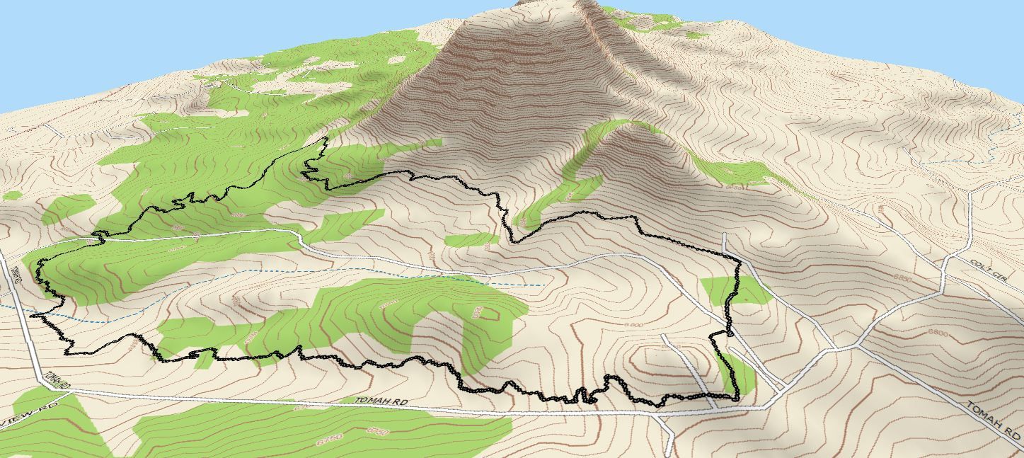
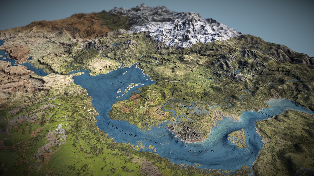
Creating 3D maps with the “JJ ROUTE ANIMATOR” app – a powerful tool for visualizing routes and navigation. This application enables the creation of impressive 3D maps that help users to vividly visualize their journeys and routes.
One of the key features of “JJ ROUTE ANIMATOR” is the ability to import GPS data and transform it into realistic 3D terrain models. Whether it’s forest trails, mountain ranges, or urban streets, the application effortlessly converts this information into captivating 3D maps.
Thanks to advanced rendering algorithms, “JJ ROUTE ANIMATOR” creates detailed and smooth 3D images, allowing users to examine the terrain, elevation, vegetation, and other key elements in detail. This enables route planning, difficulty assessment, and even previewing the upcoming journey.
Additionally, the application offers a wide range of tools for editing and customizing 3D maps. Users can add their own markers, set points of interest, visualize elevations, and much more. This allows the creation of truly personalized and informative maps, which become an indispensable companion in any adventure.
Being both powerful and intuitive, “JJ ROUTE ANIMATOR” provides users with the opportunity to immerse themselves in the amazing world of 3D cartography. Whether you are a professional geographer, a hiking enthusiast, or simply interested in travel, this application will be your faithful companion in exploring and navigating the surrounding world.


